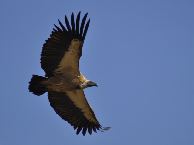
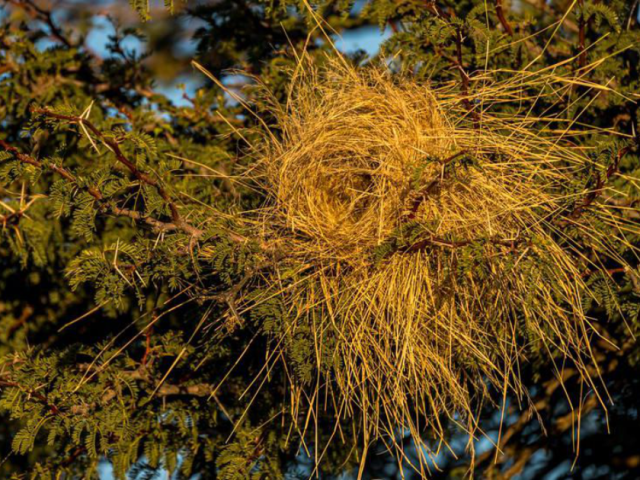
Keep an eye on the lions; watch where the elephants are, where the people are; track the poachers; count the nesting vultures.
That’s a tall order far on the veld, or deep in a vast nature reserve, where constraints of distance, cost, connectivity and a shortage of hands make conservation a thorny task at the best of times.
Increasingly, technology has been roped in to do what would otherwise be impossible: keeping track of animals, security, movement, and conflict. In southern Africa, an increasing number of conservationists and landscape managers are turning to EarthRanger, a handheld tech whose initial goal was no more than saving elephants from poachers, but has grown to log and share, in real-time, a vast range of information that is needed to protect nature.
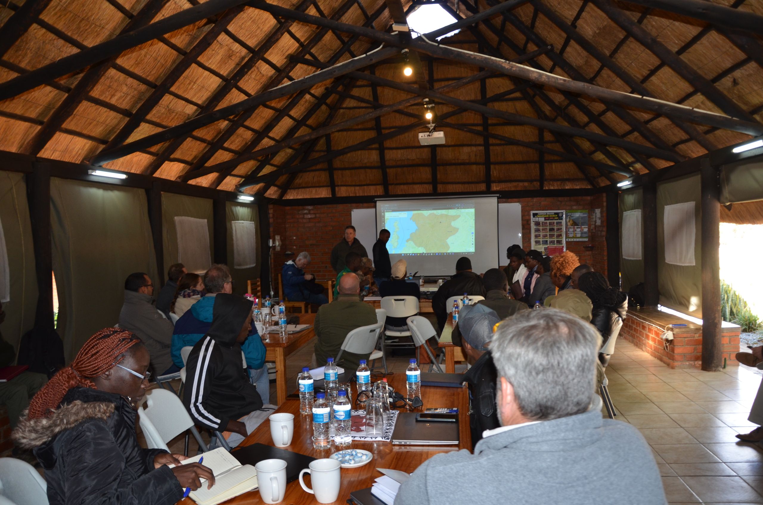
EarthRanger partnership director Bruce Jones describes it as “a digital platform where you can see holistically what’s happening in your protected area landscape”. It encompasses elements of law enforcement, human-wildlife conflict, ecological management, and logistics. “It gives you a real-time view of your area showing anything that can be tracked, such as animals and people and vehicles,” says Jones.
The true value of EarthRanger, however, is that it is not static, providing only historical information. “Information from the field is automatically fed in from remote remotely based systems or manually from things like phones, or cell phones with EarthRanger mobile.”
EarthRanger was founded about nine years ago when Microsoft co-founder Paul Allen funded the Great Elephant Census.
“The results of the elephant census showed there was a high level of poaching of elephants in northern or eastern Africa,” says Jones, “and they were looking at ways to use technology to prevent this poaching. On top of that, they were looking at the ways that data is collected in the field, and a lot of it was done on paper, and they were looking at ways to digitise that. That’s how the EarthRanger story was born.”
It now works “hand in hand with other systems such as SMART (Spatial Monitoring and Reporting Tool), which has the ability to gather information similar to EarthRanger but not in real time. EarthRanger enables our protected area managers to manage an area in real time. We receive tracking information from over a 100 different source systems, vehicle trackers, animal trackers, and personnel trackers, and those can all be visualised in real time on the platform and there’s no other system at this stage that can do something like that,” says Jones.
Jones says defusing or pre-empting conflict between people and wildlife is critical to conservation efforts. He says that when collared animals, including elephants and lions, which might cause conflict, “get close to an area like a village, we can set up geofence boundaries that once crossed over by those tracked animals will trigger alerts, and those alerts can go through to the authorities so that they can dispatch teams to go and deal with the threat. They can also send out alerts to various designated people within the villages who can then react and warn the people in the area that there is an impending risk.”
Among those who have started using the EarthRanger is Nicole Maenzanise, the monitoring and valuation coordinator of the Victoria Falls Wildlife Trust. She says using the technology has reduced human-wildlife conflict “significantly ever since we started using it in around June 2023”.
She notes that “Victoria Falls is located adjacent to a national park and communities. We have evolved from just the wildlife aspect of things and moved into livelihoods for the adjacent rural communities when we realised that we are better off protecting the livelihoods of the people and inadvertently achieve the conservation outcomes for the national park. “The main issue has been human-wildlife conflicts due to the degradation of rangelands in the Lupinyo area. This leads to livestock encroaching into the protected areas followed by high rates of lion predation.
“The benefit has been to have this early warning system for the livestock farmers to be informed in their decision making of their range land and grazing pattern for the day. And this has significantly reduced the interaction of the livestock and the lions, reducing the human wildlife conflict.”
The practical application of EarthRanger has extended well beyond what was originally envisaged.
Max Makuvise, the resident director at Shangani Holistic ranch in Zimbabwe, says “being such a large operation and having such a vast area of land, it’s very important that we know what’s going on, where it’s going on, and when it’s going on. Shangani is a mixed-use landscape, which is shared between cattle and wildlife in a way that assists with the regeneration of grasses. This is partly due to the effect of their dung, but the animals are also rotated, and they also eat slightly different grasses from each other.
“With EarthRanger we started off just monitoring wildlife that had been collared, but we’ve moved on since then. We’ve now got our cattle in the system. We see where the herds are, when they are, and we date when they move. And we tie that back to our grazing plans to make sure we’re using the land in the best possible way, not overstaying or understaying in an area.
“We also now have our security department, our anti-poaching unit. They now go through the ranch, and if they come across a snare or they come across a spoor they now put that into the system. So we can see quite a lot of our operations remotely, in real time and that allows us to make even better decisions. Without the data, we can’t make the right decisions all the time. And we think that it’s very important that we marry our skills and our knowledge with data through a system such as EarthRanger, which enables us to bring it all together,” says Makuvise.
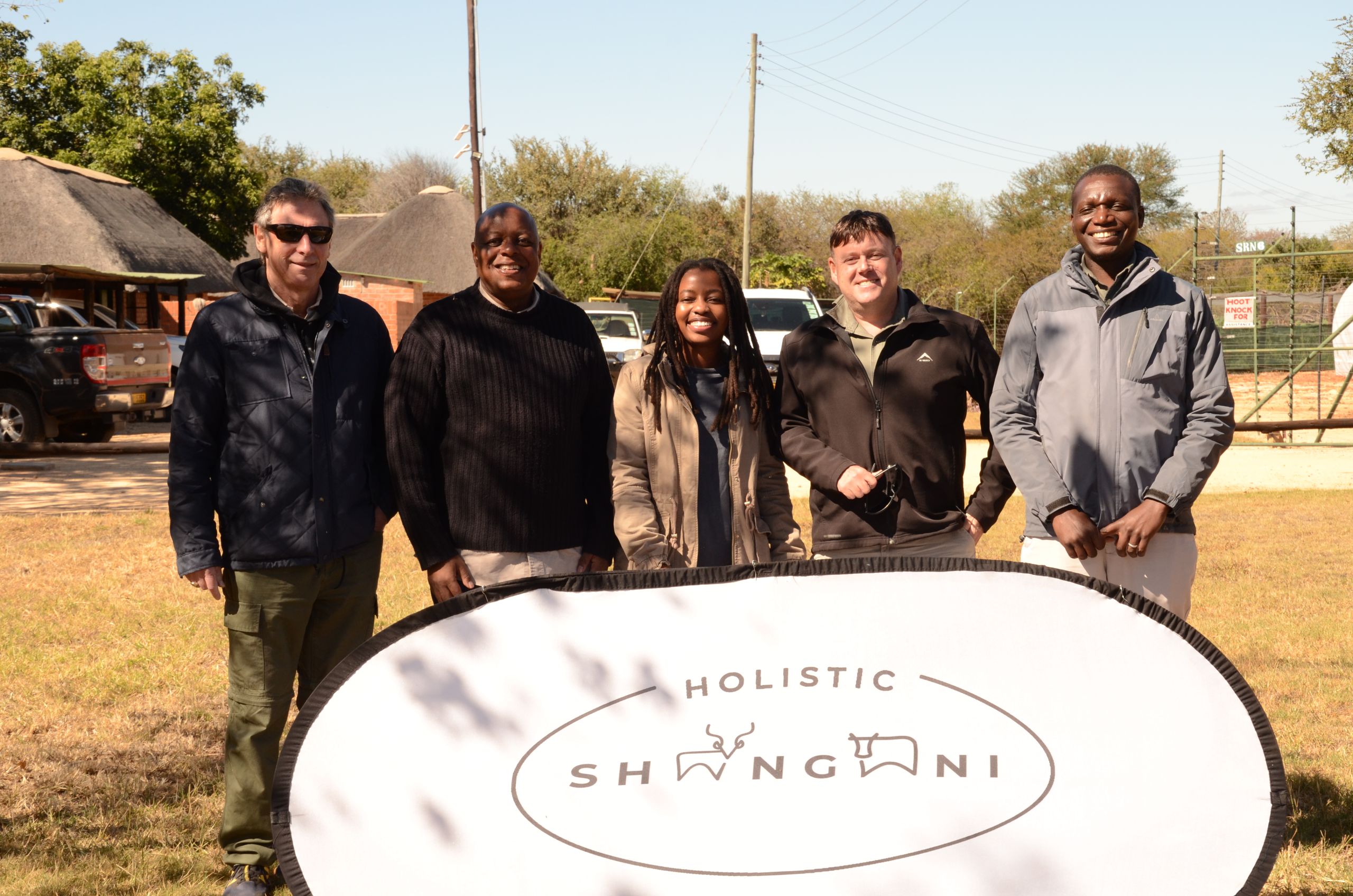
Oppenheimer Generations Research and Conservation (OGRC) Research Manager Peter Makumbe, who is based at Shangani, said that “from a research point of view, we’re mainly using it for ecological management.” However, it also helps integrate operations. “For example, when we record sightings of species, it helps security to know where the species are and to increase patrols in those areas. You minimise the chances of poaching.” Makumbe added that they want to start drone patrols, and then connect those with EarthRanger for tracking.
Nigel Kuhn, who works for the Conservation and Wildlife Fund based in the greater Hwange area of Zimbabwe, said their main use for EarthRanger is for security, and with time to improve community relations. He said their “primary aim is to act as a security buffer, between the communities and the park. However, saying ‘security buffer’ doesn’t tell the whole story. What we’re trying to look for is a holistic solution to promote conservation in the wider context of the human population living on the outside and the research and monitoring that’s going on in the inside of theSikumi and Ngamo forest parks.”
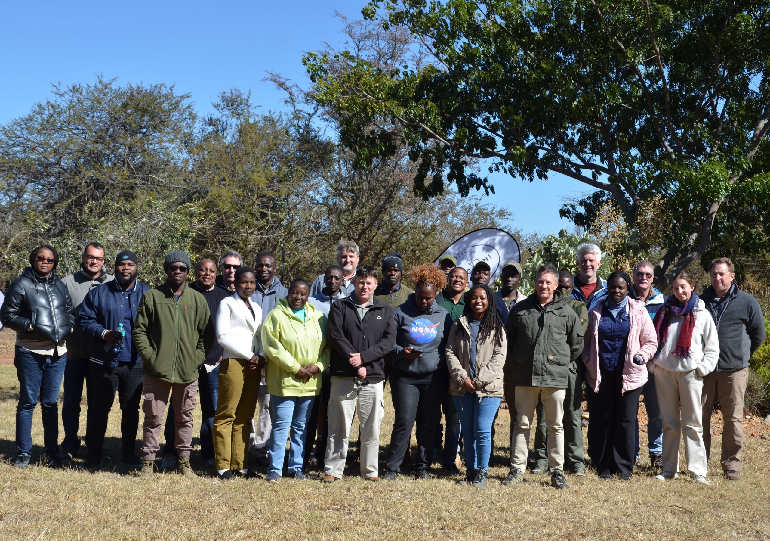
“We’ve been using EarthRanger mainly in a security context. Because we are pursuing a holistic solution, what I would like to do is try and set up citizen science and conservation community conservation led programmes. With EarthRanger mobile, we would be able to harness a lot of information on what’s happening on the outskirts of the protected areas, not so much from a law enforcement point of view, but from a community help point of view where, if there’s human wildlife conflict, or problems with access to water or food, then we can more adequately respond, to show communities that it’s not a fortress conservation area”.
Tawanda Muhamba, a GIS analyst with the International Fund For Animal Welfare working in Zambia, Malawi, Kenya and Zimbabwe, says they make use of the full range of EarthRanger capabilities: human-wildlife conflict mitigation, general operations, research, as well as other threats to the landscape.
“We support conservation efforts across the landscape, be it ranger welfare, anti-poaching, be it being community engagements to facilitate people and animals living together peacefully. So EarthRanger is going to be a very important tool in collecting human-wildlife conflict data in communal areas, and then we are going to use it as priority.
“But we are also going to incorporate it in our general operations. We are going to be monitoring ranger patrols, ranger welfare, how they are, where they are going, what is it they are collecting. We are also going to be using EarthRanger for general ecological research. We are going to be tracking elephants and other flagship mammals like giraffes and also some carnivores like lions to see how the general landscape is affecting their movement patterns.”
While some organisations are able to maximise all the bells and whistles, for others any technology represents a quantum leap into the future.
Leeroy Moyo, the programme manager in charge of extinction prevention at Birdlife Zimbabwe, says that just being able to break away from paper has been a breakthrough.
“The first thing was just to move away from paper,” which created problems in the field. “We have a couple of hundred acres where you need to record locations every day. So rather than having 100 papers, which can get lost, just having something which is available, on the go in the field, to record your information, is a major benefit to us.”
It’s also useful to integrate information with other partners such as Birdlife Zambia and Birdlife Botswana “to have that visual aid of what is happening in Southern Africa”.
Moyo says that while Birdlife Zimbabwe “focuses on the conservation of birds and biodiversity”, community engagement is also important. The technology therefore has the benefit of being more user friendly for communities in data collection, which is important since “those guys are the boots on the ground”.
EarthRanger is a free-to-use platform, “fully funded by the Paul G. Allen Family Foundation. It’s not going to cost you anything. We host it in the cloud. We do all of the software development, and our configuration and support is provided at no cost to the end user”, says Jones.
For more information on EarthRanger, go to www.earthranger.com, where you can click on a demonstration.
Author
- Tracking the Shangani Wanderer - June 18, 2025
- Rescue, rehabilitate, release: tracking the comeback of South Africa’s pangolins - June 18, 2025
- Fewer weavers, fewer homes: why nest builders matter in the Kalahari - June 17, 2025
Additional News
Pangolins are elusive and heavily trafficked. At Tswalu, researchers are working to uncover their secrets and aid conservation.
Declining Sparrow-Weavers may threaten other birds that rely on their old nests for shelter.
